
Reading the Coast Through Geography
Use the preserved-tower map as a reference layer: each coastal location ties physical place to preservation records, keeper accounts, and related archive material.
- Compare tower markers by district to understand how exposure, access, and era shaped survival along different stretches of coast.
- Open each mapped tower note to read current preservation status alongside period photographs and documented restoration dates.
- Follow linked story entries to connect coordinates with keeper routines, weather events, and maritime routes in nearby waters.
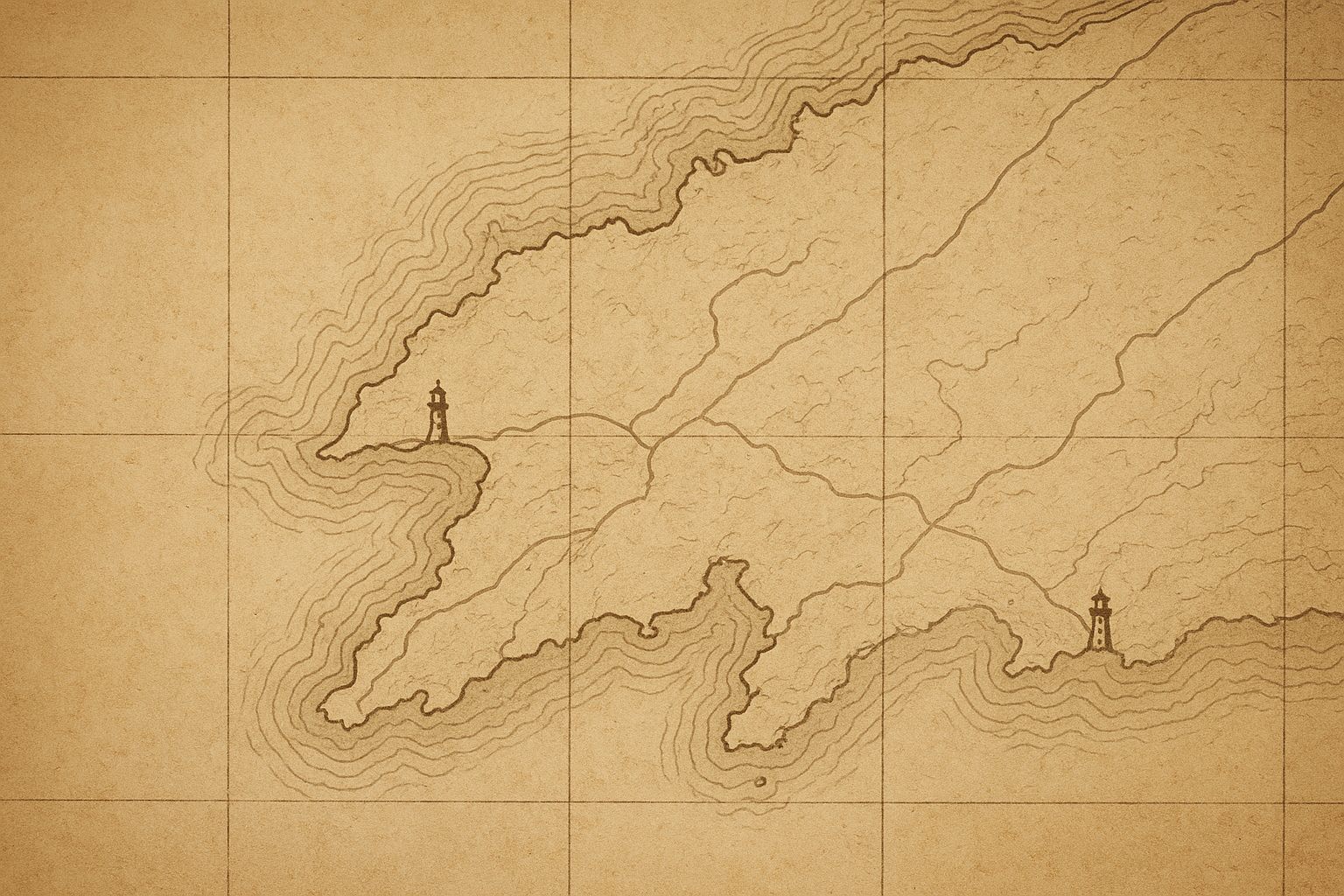
Preserved landmarks
Preserved towers along the northern coast
A historical coastline view with surviving lights marked for quick reference, linking each place to its preservation story.
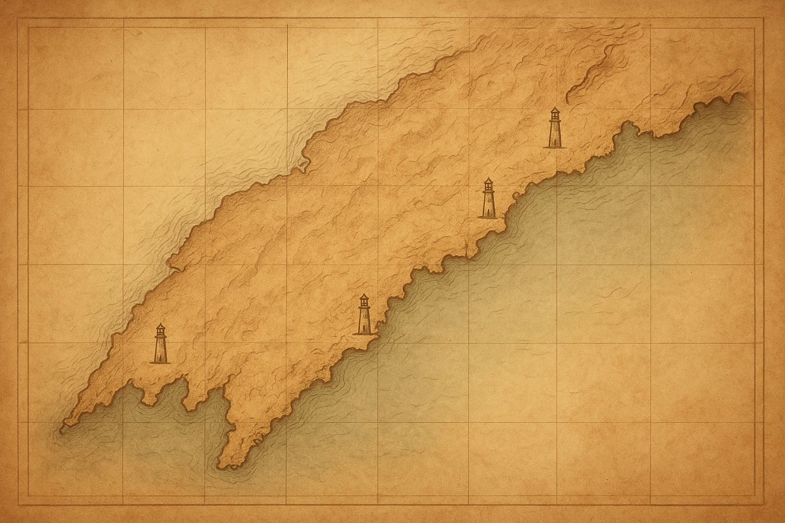
Map reference
Visit planning FAQ
Practical notes for using preserved-tower information responsibly, with calm historical context for route planning.
Can I enter preserved lighthouse towers during a visit?
Access varies by site: many towers are view-only from marked paths, while selected locations allow guided interior visits on limited dates.
How current are restoration status notes on the map?
Entries reflect the latest confirmed preservation reports, but active works can change quickly; check local heritage notices before traveling.
What should I expect for photography at preserved towers?
Most exterior viewpoints are open to personal photography, though tripods, drones, and after-hours access are often restricted for safety and conservation.
How should I read historical interpretation notes at each site?
Notes combine archive records, keeper logs, and restoration surveys; where sources differ, the entry indicates uncertainty rather than forcing a single conclusion.
What is the best way to plan a multi-stop coastal route?
Group towers by distance and road type, allow extra time for weather shifts, and prioritize public viewpoints first before scheduling any guided access windows.